Friday, July 6, 2012

Thirty-one days, fifteen hundred nautical miles, we have now completed our sailing journey of 2012. We explored remote regions of the Inside Passage, witnessed the wildness of British Columbia from close vantage. Wolves, eagles, porpoise, dolphins and whales shared their homeland and waters.  Home for them but new horizons for us.

We will go sailing again and in all likelihood, we will go further into new territory... and newer horizons.

Ohana

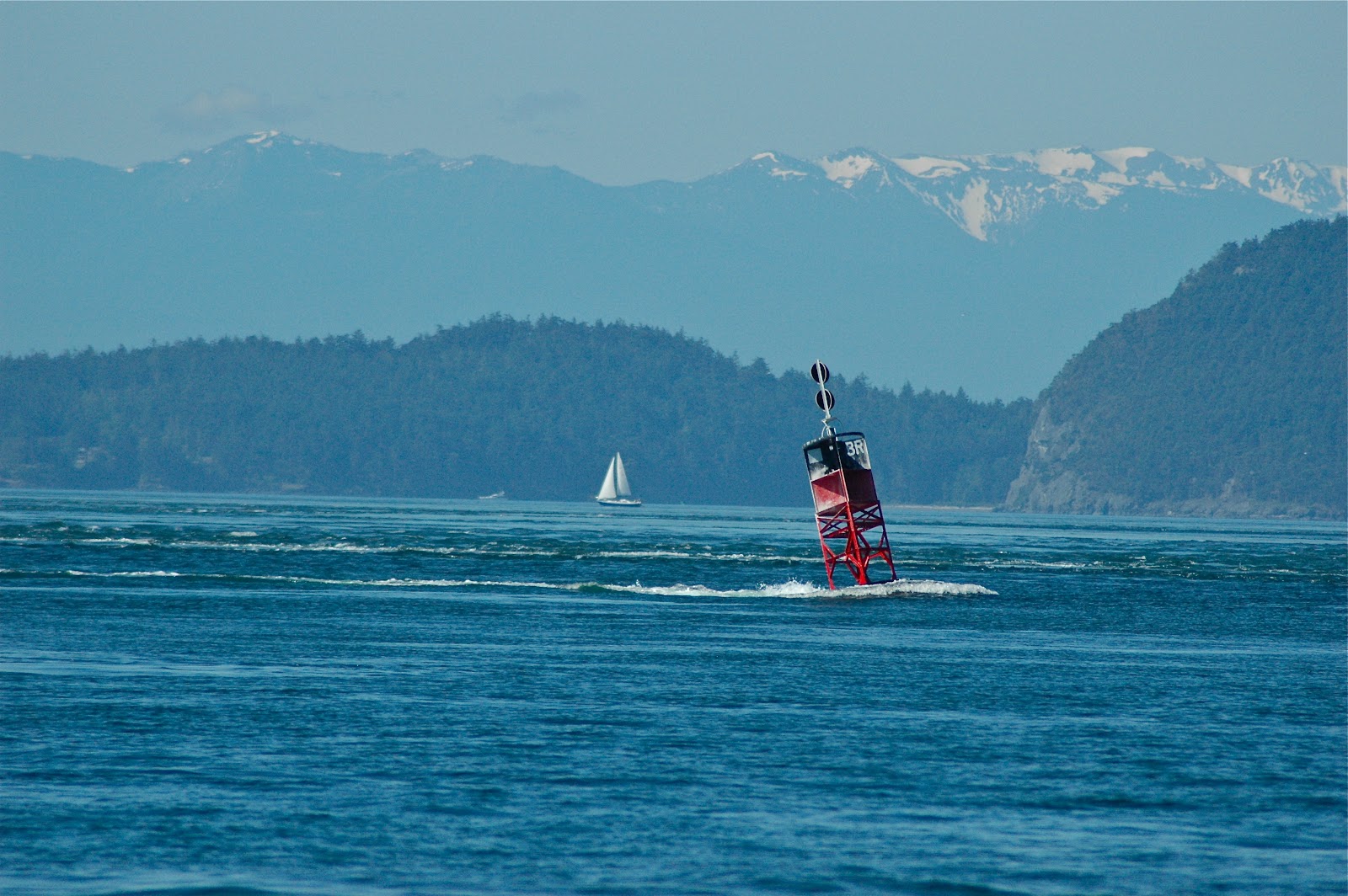
Ebb Current Bird Rocks, Strait of Juan de Fuca
The strong ebb in the morning of July 5th carried us at 10+ knots from Rosario Strait into the Strait of Juan de Fuca and on toward Admiralty Inlet just in time for the big flood of the afternoon south into Puget Sound. We would make the long run home traversing 75 miles and arriving at our home port, Bainbridge Island by dinner.

Moonrise Dogfish Bay (9:30pm)

Sunrise Strait of Georgia near Gabriolla Passage (5:00am)

Sunrise, exit Dogfish Bay to Strait of Georgia

Sunrise, Strait of Georgia
We weighed anchor at Dogfish Bay prior to sunrise. We would catch the building ebb current south on the Strait of Georgia to the San Juan Islands. Near Patos Island the current would reach a smooth four knots, allowing us to make the Customs dock at Roche Harbor by 1:00pm.

Passing storm front as we cross Strait of Georgia


Gull 

Bald Eagle
Two common inhabitants of the coastal waters occupy the same breakwater wall at Westview Harbour. Both birds faced each other a mere thirty yards apart and both have mastered the avian form of a "poker face".
Westview Fuel Station
A fuel dock can be a welcome sight for a cruiser, especially the more north one goes. Cruisers along the inside passage cannot always rely on wind and often must deal with apposing currents. Thus, fuel to power their engines is a necessity. Knowledge of one's fuel consumption is imperative. Typically, volume consumed per hour is the key metric. Ohana burns about 0.75 gallons per hour. At 6 knots cruising speed, that equates to about 8 nautical miles per gallon. Ohana holds 85 gallons of fuel or 680 nautical miles of range. However for planning purposes, 600 nm is a reasonable range estimate, but more importantly, 100 hours would be the safer planning unit to use.
Pacific Grace
In the pouring rain and twenty knots of breeze, the Pacific Grace and Pacific Swift, two northbound training schooners, passed us on our southbound approach to Savary Island. Pacific Grace, viewed here had just experienced a mishap with their large foresail which can be seen dragging through the water as the crew awaited what appeared to be an unplanned training exercise.

http://en.wikipedia.org/wiki/Sail_and_Life_Training_Society


Strong winds came as the storm front met our arrival at Cape Mudge. We had timed the slack at Seymour Narrows and slid through with the final pulse of the flood which had topped 14 knots just two hours prior to our arrival. The race against the turning tide began immediately south of Seymour. We fought our way around the cape against 3.5 knots of ebbing current and a building wind. An unexpected run and bite of salmon added at least two dozen fishing boats to the environs off the cape. We watched as one nearby boat landed a twenty plus pounder and decided to try our hand but with no such results. After thirty minutes of dropping a leaded herring, we threw the engine in gear and set the stay and main to beat against the rips and building seas. We had our sights set on Stag Bay on the northern side of Hernando Island however the seas and winds at 9pm in the evening were putting that goal in question. After rounding Wilby Shoals on the southern tip of Quadra, we turned for Rebecca Spit and ran with the weather a final seven miles to protection and a very late but hot dinner. We dropped our hook in the waning light at the southern end of Drew Harbour not far from the campsites along shore. A hearty soup was soon simmering on the stove as we listened to and watched the firework displays from the jovial campers celebrating their national birthday. Sometime before midnight, the wind in the halyards replaced the cracks and whistles from shore and sleep was completely welcome.

Sunday, July 1, 2012

Today, we will cast off from Blind Channel docks near noontime, ride the flood to catch slack at Seymour Narrows and likely anchor at Rebecca Spit on the east shore of Quadra Island. Timing is especially important today as arriving early or late to Seymour slack at 4:44pm would be not only unfashionable but downright awkward. Seymour current today reaches a maximum of 14 knots at 1:15pm.
Sunrise Blind Channel Resort
The fog lifted yesterday morning as we entered Johnstone Strait. The next five hours would see us ride flood and following winds southward down the strait, at times reaching 10+ knots speed over ground (SOG). SOG can become an emotional barometer for sailors. The faster you sail, the lighter your spirits. It was a jovial day down Johnstone. Even the sea life was frolicking in the speedy currents. White sided dolphins, Dall porpoise and possibly Spinner Dolphins by their aerobatic antics however Spinners are typically a tropical dolphin, at least by the book. We left Johnstone as the flood eased and made our way up Mayne Passage to Blind Channel, on the dock by 3:30pm with the unparalleled friendly and able assistance of the staff at the resort who provide guidance as to dockside currents, angle of approach and hands on help with the lines. Not to mention a "welcome back" and quick review of the services available, schedule and layout. Phil, the patriarch of the family run operation keeps watchful eye on the guests and is quick to hop on his soft-tired mountain bike to make a coasting descent from his house to assist with docking a newcomer or to rendezvous with a guest wandering toward the general store.
Spout Bay
A long day from Skull Cove across Queen Charlotte Strait found us sailing through the mist and patchy fog to a familiar anchorage - Spout Bay on the north side of Hanson Island facing Blackfish Sound. We  tucked close to the western shoreline and dropped the hook in forty-five feet of glassy water. The following morning fog was only slightly lifting by 5:30am.  We would weigh anchor at 7am, exit through a foggy Blackney Passage and into Johnstone Strait to catch the big flood. "Securite, securite, securite. Forty foot sail, southbound, western shore, Blackney Passage". I reported our presence in response to a passenger ship who had just announced northbound arrival to Blackney. We had their AIS and radar image but it was good to make the visual confirmation when the 200 foot vessel appeared half mile ahead, center channel through a thinning fog at the south end of Blackney.

Early morning incoming tide waves rock us awake.
Lone Eagle near  Skull Cove
We left Skull Cove for the second time. This protected bay southeast of Cape Caution again provided welcome refuge from rough seas. One day earlier, we left Dawson's Landing in calm, drizzling conditions and made for the Cape. Near Egg Island the seas were throwing two foot wind waves whipped by 16 knots of gusty breeze. Only a mild example of the range of emotions displayed by the Cape. We would go around. Approaching the Cape and two miles off, the wind was now more steady at 18 knots and the waves were building. Skull Cove was only nine miles away.  We could turn, head downwind and run for the cover of Fly Basin. We decided to press on, endure the conditions and slog our way to Skull. We put the Cape astern but were now making three knots against three foot waves and a twenty knot wind.  It was 2:30pm. At 4:30pm we had tacked twice, making longer runs out away from shore in an effort to ease the force of the waves and to gain position for a smoother angle of approach to Skull. We were flying the staysail for balance and using the engine to make between two and five knots depending on the waves. We knew we could turn and run as the wind was parallel to the coast but we could now see McEwan Rock and the entry to Skull across the white caps which were peaking closer to four feet with steep faces aggravated by the apposing flood tide. One long tack out to Storm Islands and we would turn toward McEwan with twenty-five knots of gusty wind two points off the starboard bow and make safe harbor... by 6:30pm.
Gatekeeper at Skull Cove
Even eagles get wet. After yesterday's sail, we could relate to this eagle's appearance.
Gulls Adrift
Gulls would rather stand than sit, or so it appears.  This raucous group had found a grandstand afloat in Queen Charlotte Strait. Most seemed happier to be at water level. Less tippy. Calm seas reveal a variety of perching options and the gulls will vie for every post. The ones on the upper deck here are unpopular when random waves rock the whole stand.  Plus there's the added concern on the lower deck, "Hey you up there, did you just drop some food or...?".